About Arwal District
Arwal is a district in southern Bihar and forms part of the Magadh Division. The district headquarters is located in Arwal town, situated on the right bank of the Son River.
Arwal became a separate district in August 2001, when it was separated from Jehanabad district. It is one of the smaller districts of Bihar in terms of geographical area.
According to the latest official district profile, Arwal covers approximately 634.23 square kilometres and had a population of 700,843 according to the 2011 Census. The district has one subdivision and five blocks: Arwal, Kaler, Karpi, Kurtha and Sonbhadra Banshi Suryapur.
Agriculture is the main economic activity of the district. Paddy, wheat and maize are among its major crops. The district’s fertile agricultural land is supported by irrigation and the river systems of the region.
The Son River is one of the most important geographical features of Arwal and plays an important role in the district’s landscape and agriculture.
History of Arwal
Arwal has a relatively recent administrative history compared with many older districts of Bihar.
Before becoming an independent district, Arwal was part of Jehanabad district. In August 2001, the Bihar government created Arwal as a separate district to improve administration and development in the region.
Despite its recent administrative formation, the region has much older historical and religious associations.
The area lies within the broader historic Magadh region, which has been associated with several important kingdoms, religious movements and cultural developments throughout Indian history.
The Son River has also played an important role in the historical geography of southern Bihar, connecting settlements and agricultural areas across the region.
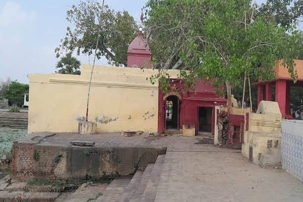
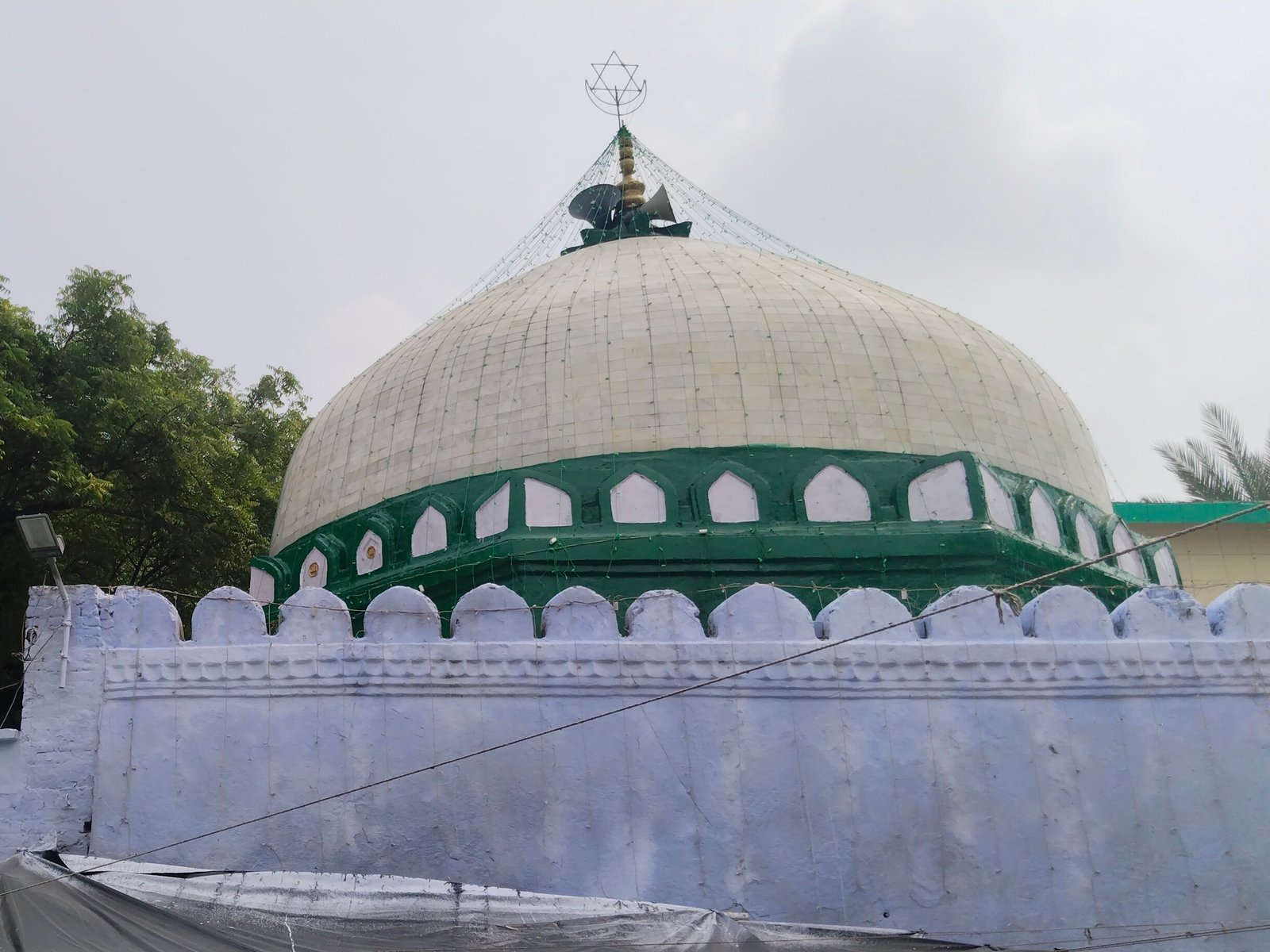
Today, Arwal’s heritage is represented by local temples, religious sites, ashrams and monuments such as Madhusrava Ashram, Gautam Budh Mandir, Fakharpur Mandir and Makhdum Shah Ka Mazaar.
Geography and Climate
Arwal is located in southern Bihar and forms part of the Magadh region.
The district is bordered by:
- Patna
- Jehanabad
- Aurangabad
- Bhojpur
The Son River forms an important geographical feature of the district. Arwal town itself is situated on the right bank of the Son River.
The landscape is primarily composed of fertile agricultural plains, with cultivated land covering a substantial portion of the district.
The district experiences a generally hot summer, a monsoon season and cooler winter months.
Summer temperatures can become high, while the period from October to March is generally more comfortable for travelling and sightseeing.
Administration
Arwal is part of Magadh Division.
The district has:
1 Subdivision:
5 Blocks:
- Arwal
- Kaler
- Karpi
- Kurtha
- Sonbhadra Banshi Suryapur
The district also has 65 Gram Panchayats and one Nagar Parishad according to the current official district profile.
The district administration manages revenue, development programmes, public services, disaster management, elections and other government functions.
According to the current official Arwal district website, Smt. Amrisha Bains, IAS is the District Magistrate.
Religious Importance of Arwal
Arwal has several religious sites that are important to local communities.
The district’s religious heritage includes Hindu temples, Buddhist-associated sites and Islamic religious monuments.
Gautam Budh Mandir is one of the important religious attractions listed by the district administration.
Fakharpur Mandir is another local temple situated in Fakharpur Panchayat.
Madhusrava Ashram is also an important religious and cultural destination in the district.
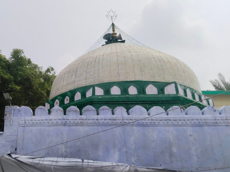
Makhdum Shah Ka Mazaar represents the area’s Islamic heritage and is one of the official tourist places identified by the district administration.
Tourism in Arwal
Arwal is not a mass-tourism destination like Gaya or Bodh Gaya. Instead, its tourism potential is primarily based on religious sites, local heritage, rural landscapes and the Son River.
The official Arwal district tourism section currently highlights four principal tourist destinations:
- Gautam Budh Mandir
- Fakharpur Mandir
- Anganur Jal Vidyut Pariyojna
- Makhdum Shah Ka Mazaar
The district website also features Madhusrava Ashram among its tourist attractions.
These destinations provide an opportunity to explore the quieter cultural and religious side of southern Bihar.
Economy and Local Life
Agriculture is the foundation of Arwal’s economy.
According to the official district profile, approximately 495.20 square kilometres are classified as cultivated area.
Major crops include:
The district has limited industrial activity, and agriculture remains the primary source of livelihood for a large part of the population.
The fertile plains and irrigation facilities support agricultural production, while local markets provide trade and distribution services for farmers and surrounding villages.
Small businesses, retail, transportation, construction and government services also contribute to the local economy.
Education in Arwal
Arwal has an expanding network of educational institutions serving its urban and rural population.
The current official district profile lists:
- 3 Colleges
- 39 High Schools
- 187 Middle Schools
- 282 Primary Schools
The district’s educational infrastructure continues to serve students from its five blocks.
Students from Arwal also have access to larger educational centres in nearby Patna and other districts of southern Bihar.
Culture and Heritage of Arwal
Arwal’s culture is closely connected with the traditions of the Magadh region.
Hindi and Magahi are the principal languages spoken in the district.
The district’s rural lifestyle, agriculture, religious festivals and village traditions form an important part of its cultural identity.
Major Hindu festivals such as Chhath Puja, Diwali, Holi, Durga Puja and Mahashivratri are celebrated across the district.
The Son River also influences local life, agriculture and the landscape surrounding Arwal town.
The presence of Hindu temples, Buddhist-associated sites and Muslim religious monuments reflects the diverse heritage of the district.
Famous Food of Arwal
Arwal’s food culture is closely connected with traditional Magadhi and Bihari cuisine.
Popular foods include:
- Litti Chokha
- Sattu Paratha
- Sattu Sharbat
- Chura-Dahi
- Thekua
- Khaja
- Rice and Dal
- Seasonal vegetable dishes
- Traditional Bihari sweets
Litti Chokha and sattu-based foods are particularly common across southern Bihar.
Traditional rice-based meals and seasonal vegetables are also an important part of everyday food in rural areas.
How to Reach Arwal
By Air
Nearest Active Airport: Jay Prakash Narayan International Airport, Patna (PAT).
The official Arwal district administration identifies Patna Airport as the nearest airport and places it approximately 65 km from Arwal.
Jay Prakash Narayan International Airport is an operational passenger airport serving Patna and currently has scheduled commercial airline services.
Nearest Active Airport: Jay Prakash Narayan International Airport
IATA Code: PAT
Location: Patna, Bihar
Approximate distance from Arwal: 65 km
Important: I am intentionally not listing Bihta Air Force Station or any non-commercial airfield as an airport option because your requirement is to use only an active airport with commercial passenger service.
By Train
Arwal district does not currently have its own railway line according to the official district website.
The district administration identifies Patna as the nearest railway connection.
Travellers can reach Patna by train and continue to Arwal by road.
By Road
Road is the main way to reach Arwal.
The district is connected with:
- Patna
- Jehanabad
- Aurangabad
- Bhojpur
The official district website states that Arwal is approximately 65 km from Patna and has road connectivity with the surrounding districts.
Best Time to Visit Arwal
The best time to visit Arwal is generally from October to March.
During these months, temperatures are more comfortable for exploring temples, religious sites, rural landscapes and the Son River area.
Winter is particularly suitable for outdoor sightseeing.
Summer can be quite hot, while monsoon conditions may affect travel in some rural areas.